Thanks for logging in.

You can now click/tap WATCH to start the live stream.

Thanks for logging in.

You can now click/tap LISTEN to start the live stream.

Thanks for logging in.

You can now click/tap LATEST NEWS to start the live stream.

LISTEN
Watch
on air now

Create a 2GB account today!

You can now log in once to listen live, watch live, join competitions, enjoy exclusive 2GB content and other benefits.


Joining is free and easy.

You will soon need to register to keep streaming 2GB online. Register an account or skip for now to do it later.

Advertisement
Advertisement
Advertisement

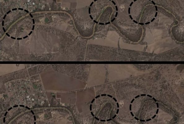
Satellite images used in compliance checks

Rural News

Satellite imaging has been used to track an environmental water release down the Barwon and Darling River systems.

An embargo was placed on the flow between April and June, with the images used to ensure compliance by irrigators.

Rural reporter Eddie Summerfield caught up with MDBA Acting Head of Compliance Brent Williams.

Download this podcast here

Rural News
Advertisement